
We Journey North

 Friday, April 4, 2014. We drove a short distance into Brisbane and made a quick stop at Britz to deal with several nagging problems with the campervan. That done, we left the city about noon headed north toward Cairns, a city on the northeast coast of Australia. At Cairns the famous Barrier Reef is closest to the coast and is thus most accessible. We hope to spend several days exploring this wonderful natural feature. The challenge is that the distance from Brisbane to Cairns is a daunting 1718 kilometers, about 1065 miles. In the US on US roads, this distance is not insurmountable but on Australian roads this is a daunting journey. We will get there but it will take the better part of four days.
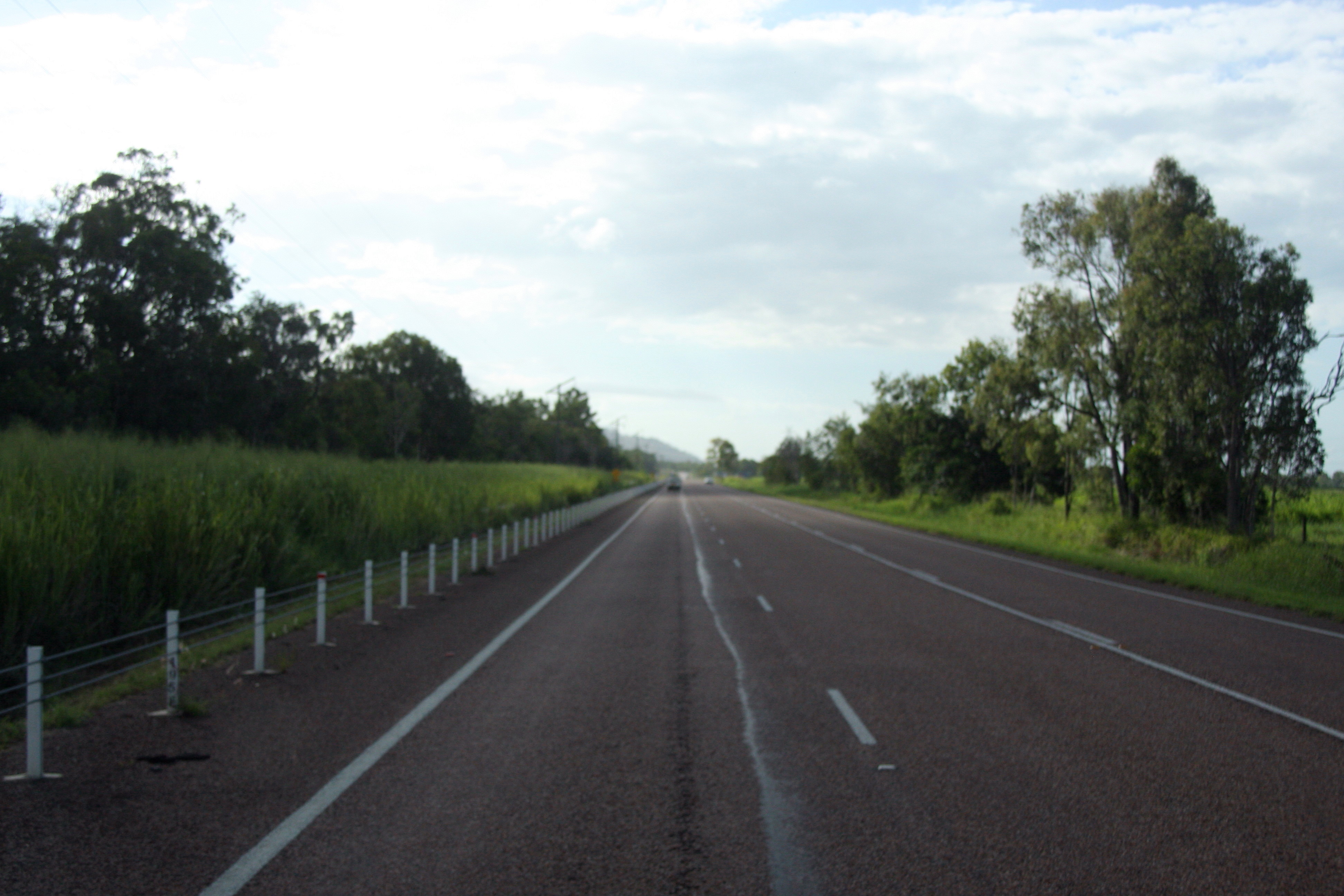
The mid-day start from Brisbane started with a departure on dual lane separated highway. In Australia they are called motorways and are the prime highways here. They are similar to our interstate highways and have speed limits of 100 to 110 kilometers per hour, about 63 to 70 miles per hour. That lasted for about 100 kilometers before it gave way to two lane highway with a speed limit of 100 kilometers per hour. That would be fine but traffic remained heavy, the roads are rough and there are frequent road repairs with speed limits of 60 or 40 kilometers per hour. This slows our progress and we roll into a campground near dark in Bundaberg. Our travel distance for the first day, 385 kilometers.
On our drive we saw beautiful scenery, mountains to the west, the Dividing Range that we have been exploring for the last two weeks. This range of mountains runs from Eden in the south on toward Cairns in the north. We drove through farmland and pastures with sheep and cattle. Later as the land flattened and the ground became more fertile we saw crops, soybeans and then sugar cane. At Bundaberg there is a rum distillery which uses the sugar cane to make rum. The campground we stayed at is called Cane Village Holiday Park. We enjoyed meeting the gregarious host. He inquires about where we are from. We are his first visitors from the United States. This is a location that is off the ordinary tourist travel list. He worked for Caterpillar in Melbourne. He made numerous trips to the US for Caterpillar training and had fond memories of Phoenix and Peoria. We find that many Australians have been to the US or have some connection such as a friend or relative that lives there. The Big 4 Cane Village Holiday Park was more like a garden than a campground. The ground were green, trimmed and very neat. If this had been our destination we would have enjoyed several days in the park.
Our second day we left Bundaberg on a small highway that would eventually connect with the main route we are following, the Bruce Highway. The road was narrow and rough which makes travel slow. We pulled off several times to let faster traffic pass. Eventually we reached the Bruce Highway. I had previewed the route for the day and knew that there were few towns on the route so our first stop was to fill up with diesel. As we continued on the Bruce Highway, we encountered one area of road work area after another. We would just speed up from one work area and then encounter another. After noon we passed Gladstone, a large coastal city, and traffic dropped off significantly. The road work also dropped off with only a few scattered slow-downs through the afternoon. This road was in good repair. Once we were well north of Rockhampton the speed limit was raised to 110 km per hour. I don’t drive the campervan that fast but it allowed us to get up to 100 and above as the road permitted. With few interruptions we were able to travel a good distance. We stopped once more for fuel and then pulled in for the night at Mackay. Our travel distance for the second day was 620 kilometers. This put us just past the half-way point from Brisbane to Cairns.
The second day of travel brought us closer to the coast. We still were traveling along the Great Dividing Range with an occasional encounter with some of the foothills. Sugar cane crops were all along our route. It is a huge crop here in the northeastern coast of Australia. On our drive today, we crossed the Tropic of Capricorn as we passed the city of Rockhampton, so we are now in the tropics. Another change which we have adjusted to is the change from Daylight Saving Time to Standard Time. This didn’t happen on Saturday night, April 6, 2014 as it will for the rest of the country of Australia but this happened when we crossed from New South Wales which is on Daylight Saving Time as are the states of Victoria and the Australian Capital Territory (ACT). Queensland where we are now does not observe Daylight Saving Time. So when we drove into Brisbane to our campground on Thursday night we had to reset our clocks. As fall comes on, days will get shorter and nights longer. This is countered by traveling toward the equator where the length of day and night remain almost constant. The closer to the equator we are, the more equal day and night will be.
0 Comments
Recommended Comments
There are no comments to display.
Please sign in to comment
You will be able to leave a comment after signing in
Sign In Now